MSU Wayfinding

UX Researcher & Designer in collaboration with two peers and Michigan State University Main Library staff, conducting literature reviews, ethnographic research, interviews, and designing lo-fi wireframe solutions and prototypes.
Duration
4 months
My Role
UX Researcher & Designer
Client
Michigan State University
Problem Space
MSU Main Library aims to enhance wayfinding in and around its stacks. To achieve this, the library collaborated with graduates from the University of Michigan to conduct UX research, seeking feedback from visitors as well as exploring ideation.

Approach
In a team of three, we collaborated on efforts to develop and conduct surveys and interviews. Each member gathered relevant information and data to draft questions and visual aids. One member took on the role of product manager and coordinated timelines and meeting cadences.
Another member focused on visual aids and literature reviews.
My main goal was to collaborate with my peers and conduct quantitative research through the American Community Survey. Through spatial analysis, we examined the demographics of the surrounding community and conducted a market analysis to inform community engagement.
Competitive Analysis

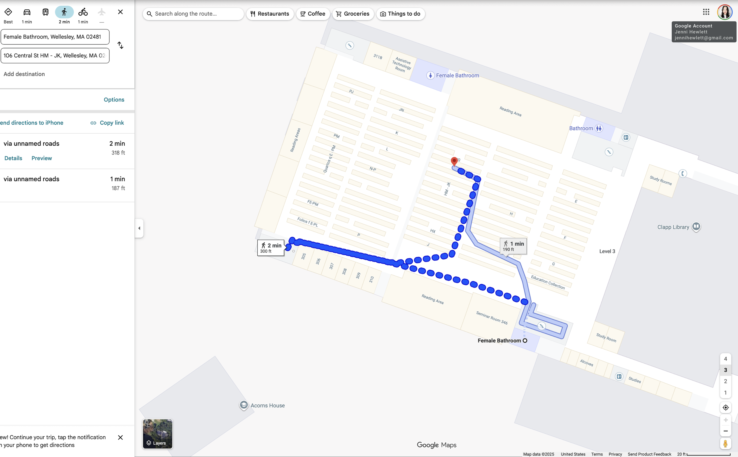
Google Indoor Maps
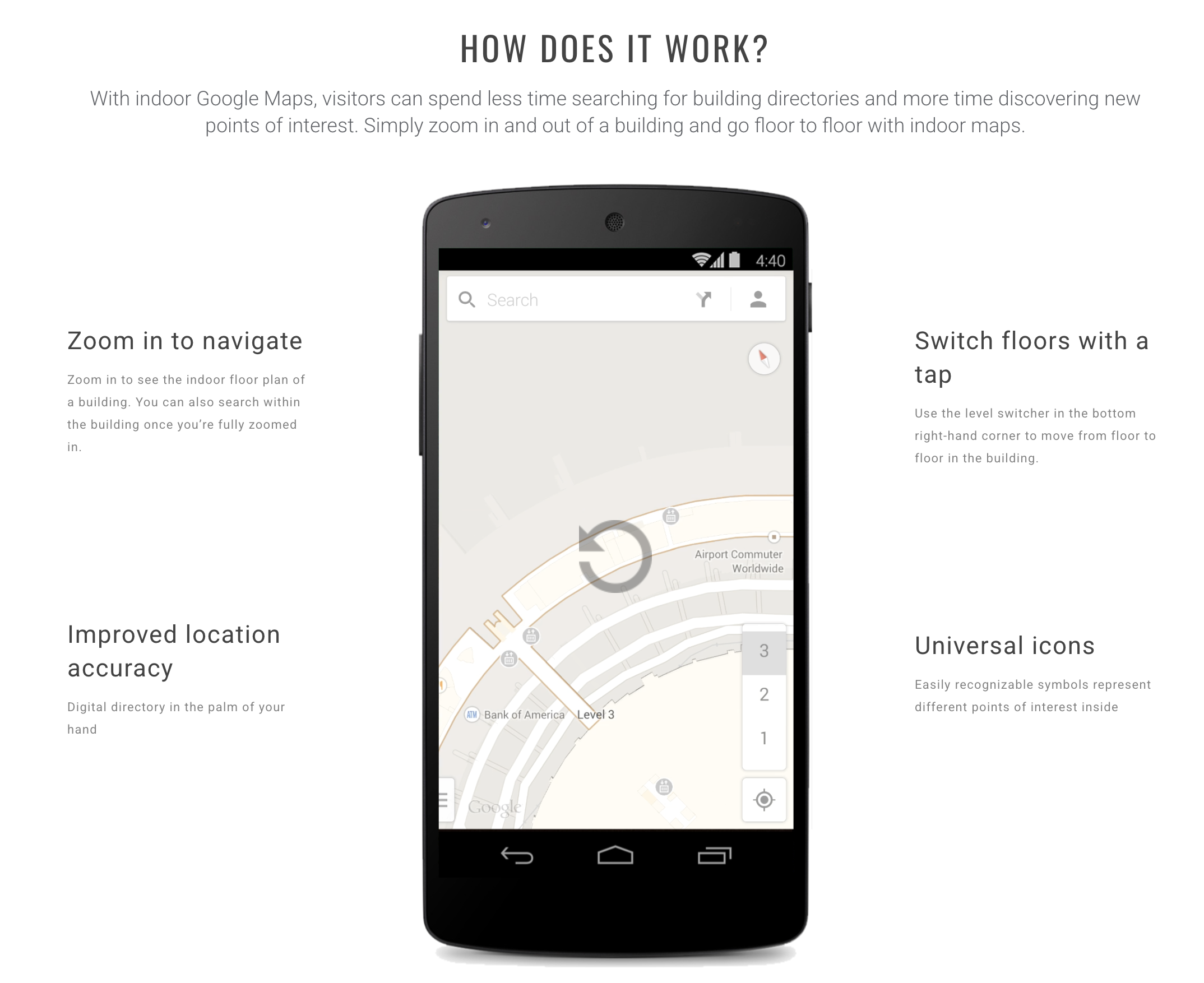
Google Indoor Maps can enhance community activation and engagement, extending accessibility beyond library and campus boundaries.

Mapbox
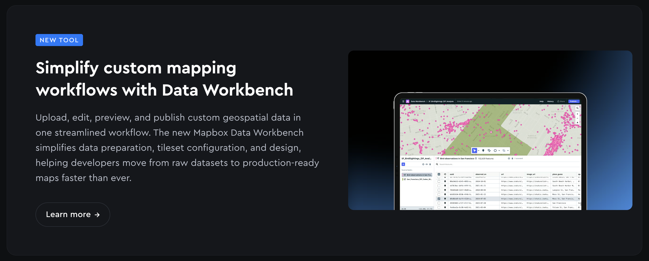
Total custom design and developer flexibility. Provides traffic data. Not as rigid when it comes to retrofitting to your brand.

Goodmaps
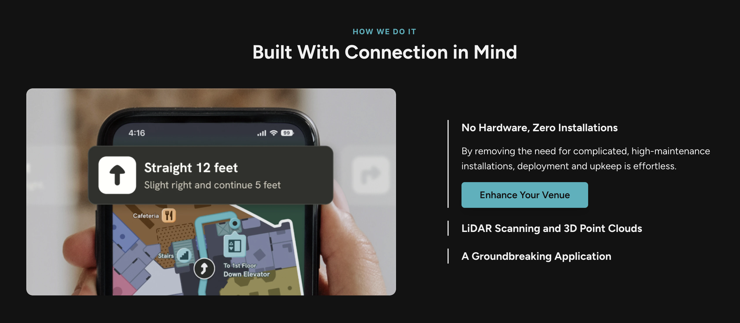
Sub-meter, audio-first wayfinding for low-vision/blind users using Camera Positioning (CPS) and 3D LiDAR. Requires professional mapping to pre-scan rooms.

Apple Indoor Maps
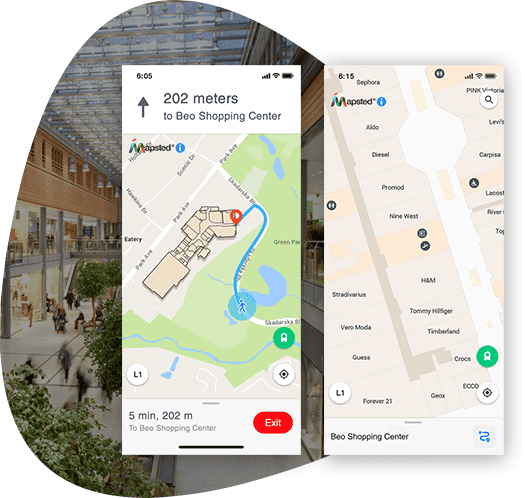
Seamless consumer transition from outdoor to indoor navigation. Infrastructure-free Wi-Fi fingerprinting (Core Location).
Outcomes
In a collaborative effort, our group organized our findings into executive overviews and stakeholder presentation deliverables. Each team member developed their own sustainability plans based on selected topics for improvement.
I chose to focus on third-party collaborators as a viable means of sustaining wayfinding for existing visitors and engaging the community, with an emphasis on marginalized groups and their challenges.
In my role, I created a second presentation to showcase the data I gathered from visitor interviews, literature reviews, and heuristic and accessibility analyses. I also organized a stakeholder meeting to learn about previous and existing research, ensuring there were no overlaps and further developing exploratory research.
My findings revealed that Apple Maps and Google Maps could serve as sustainable pathways to better engage the community, as well as provide a more robust solution for current visitors to explore the capabilities and features the library has to offer. While MSU Main Library is currently utilizing Matterport to enhance accessibility for planned visits, there are additional opportunities to improve engagement through these mapping platforms.
Take the virtual tour: https://lib.msu.edu/about/virtual-tours
Research Presentation
Research Insights
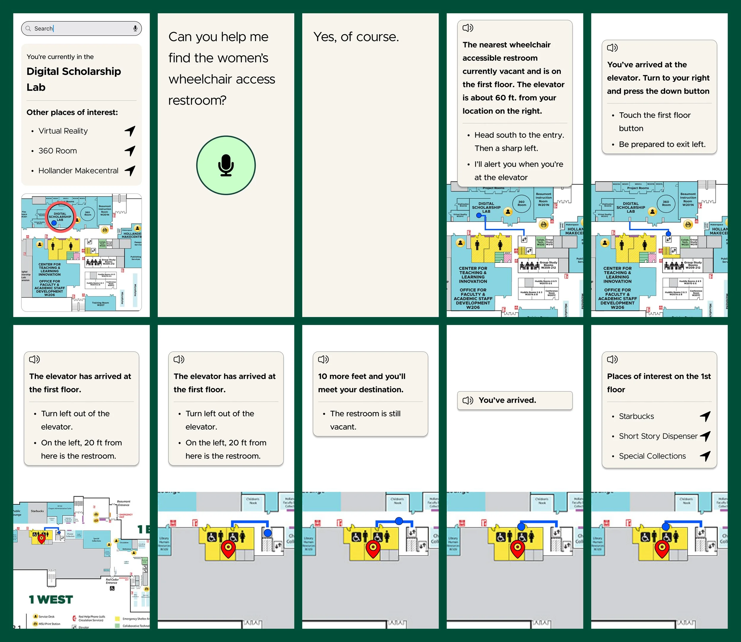
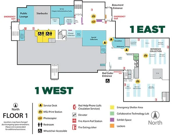
Visitors rely on memory and signs to navigate stacks and locate restrooms and printers and Library Staff are often critical to visitors in navigating the library.
User Quote: "Like a virtual map of library and have specific routes to the destination like Google Maps"

~ Student
“I feel stressed and lost. I ask a staff member or I roam to try and find what I need.”
~ StudentMain Library Visitor Survey
Mock Ups
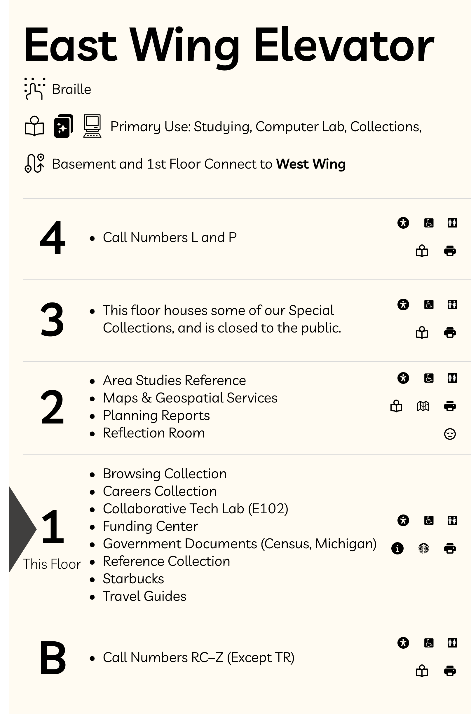
Accessible Elevator Signage Concept Sketch
Voice-Activated Navigation Agent Wireframe Flow